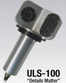
Canada 2G Robotics unique ULS-100 underwater laserscanner designed for high fine water inspection anddesign, capable of measuring the size of less than 1 mmobjects. ULS-100 underwater laser scanner for high detailstructure capturing object, can be very easy or diverdeployed by ROV.
Working principle
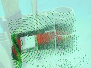
The ULS-100 underwater laser scanner is a short distancemeasurement system, the system can capture the high precision image in 10 cm to 1 m range. To locate any object has the characteristics of simple operation, needonly laser scanner ULS-100 underwater: can acquisition and processing of underwater point cloud data by ULScanCAD software using 2G Robotics package. Many similarscanning target may be captured and fusion, in order tocreate a complete more scanning body. The measured values can be directly extracted from point cloud data. The point cloud data can be output storage, and results andfuture scanning compared to, to assess the changes in the structure of any. And ranging laser underwater imaging systems. The maximum working range of 3 meters.
Advantage
Hundreds of times in the sonar resolution
Light weight, compact structure, low power consumption
Low bandwidth (RS-485 or RS-232).
USL-100 technical specifications of underwater laserscanner
The scope of application
Offshore oil assets assessment, dam and bridge damageassessment, water pipe ovality measurements, concretepile measurement, examination of the hull / propeller ship inspection, underwater archeology, marine biological survey.
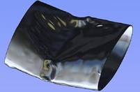
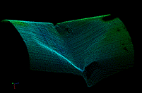
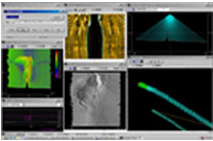
Deployment of USL-100 underwater laser scanner, should be located in the damaged pipeline before. The scannercan capture 3D scanning pattern of this pipeline area high resolution. Through multiple scanning many aspects ofunderwater pipeline, to create the 360 degree model, and shows the appearance of a damaged part.
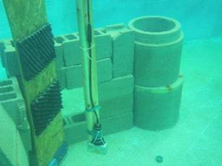
USL-100 underwater laser scanner underwater 3Dmodeling
